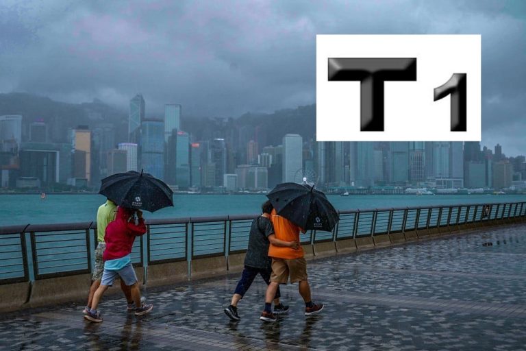
Tropical Cyclone Alert: What Hong Kong Residents Need to Know
As the tropical cyclone approaches the South China Sea, the Hong Kong Observatory is closely monitoring a developing weather system that could significantly impact the region in the coming days. Currently, the Standby Signal No. 1 remains in effect, signaling a potentially evolving meteorological situation that demands careful attention from residents and visitors alike.
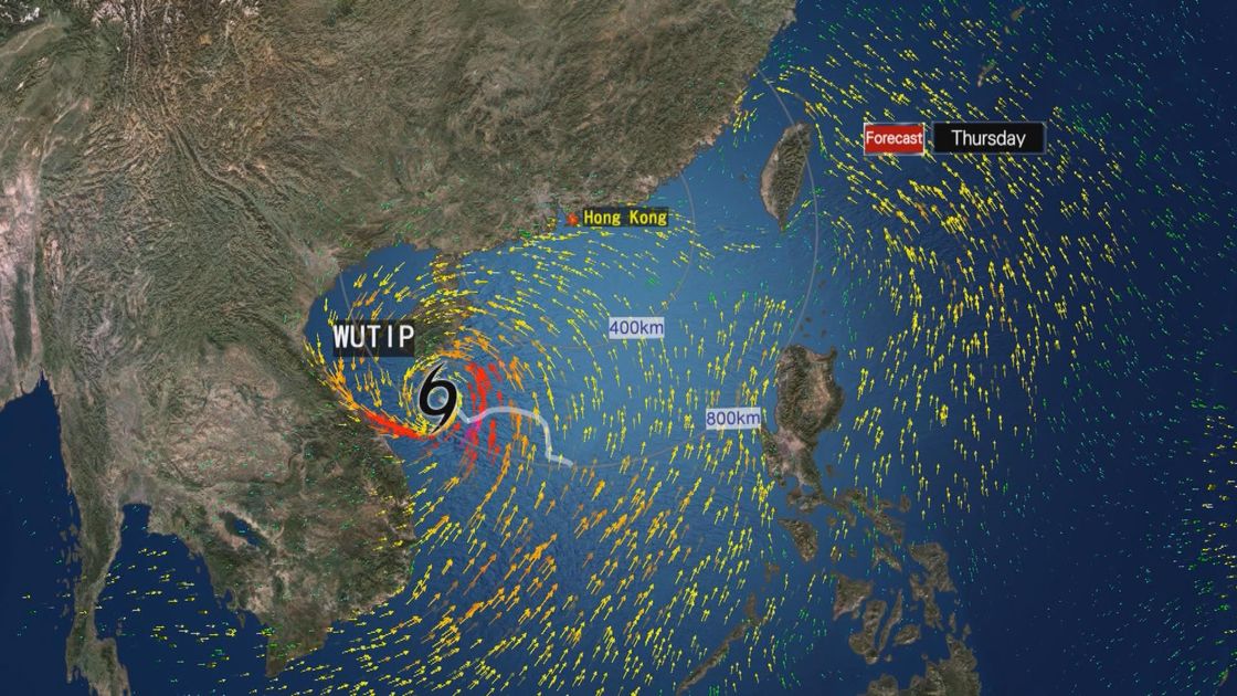
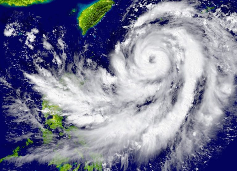
The cyclone, which is currently maintaining a distance of approximately 300 kilometers from Hong Kong, presents an intriguing weather pattern. Its relatively small circulation is expected to gradually intensify as it moves closer to the coast of eastern Guangdong on Thursday and Friday. The Observatory has highlighted several key uncertainties surrounding the storm’s trajectory, including its potential landfall position and overall intensity.

Meteorological experts are tracking the cyclone’s movement across the northeastern part of the South China Sea, where the northeast monsoon is playing a crucial role in its path. The wind system is anticipated to influence the storm’s direction, potentially guiding it westward toward the Pearl River Estuary. This complex interplay of atmospheric conditions makes precise prediction challenging and underscores the importance of staying informed.

Friday appears to be a critical day for weather watchers. The Observatory will carefully assess whether to issue higher tropical cyclone warning signals based on multiple factors. These include the cyclone’s strength, the proximity of its strongest winds to Hong Kong, and local wind condition variations. Residents should remain vigilant and prepared for potential changes in the weather alert system.

The weekend forecast suggests a deteriorating weather pattern. Saturday is expected to bring occasional squally showers and thunderstorms, with some precipitation potentially becoming heavy. This prediction emphasizes the need for residents to stay updated through official channels and take necessary precautions.

While the current situation doesn’t warrant extreme alarm, it does require careful attention and preparedness. The cyclone’s unpredictable nature means that conditions could change rapidly. Local authorities recommend that individuals stay informed about the latest updates from the Hong Kong Observatory and follow any guidance or instructions that may be issued.
For those in the affected areas, this is an opportune moment to review personal emergency preparedness. This might include ensuring emergency supplies are readily available, checking communication devices are charged, and having a plan in place should weather conditions worsen. The key is to remain calm, informed, and proactive.
The coming days will be crucial in determining the full impact of this tropical cyclone. As the system continues to develop and move, residents can expect ongoing updates from meteorological experts who are closely monitoring its progression. The dynamic nature of tropical weather systems means that flexibility and preparedness are paramount.
Stay tuned to official weather channels, keep an eye on the Hong Kong Observatory’s updates, and prioritize personal safety as this weather system continues to evolve. The next 48 hours will be critical in understanding the full extent of this tropical cyclone’s potential impact on the region.