Typhoon Wutip: Potential Tropical Cyclone Brewing in the South China Sea
Weather watchers and residents of southern China are closely monitoring a developing low-pressure system that could transform into the first tropical cyclone of the year in the Northwest Pacific and South China Sea. The Hong Kong Observatory (HKO) has issued a warning about the potential formation of Tropical Cyclone Wutip, which is currently taking shape near Luzon and may significantly impact regional weather patterns in the coming days.

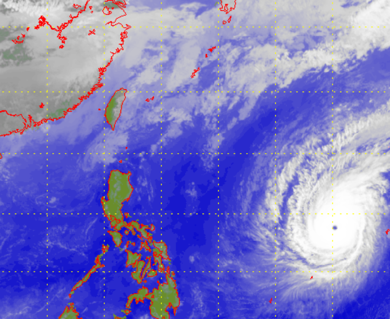
As of June 8, satellite imagery revealed a stark contrast in atmospheric conditions across the region. The northern South China Sea and Guangdong coast were experiencing fine, extremely hot weather due to a powerful anticyclone aloft. This high-pressure system is expected to maintain sunny and scorching conditions across southern China from June 9 to 11, creating a dramatic backdrop for the potential cyclone’s development.
The nascent tropical system is emerging from a broad area of low pressure near Luzon, drawing moisture from the southwest monsoon. These conditions are creating a fertile environment for convective activity and potential cyclone formation. Computer models suggest the system will gradually organize over the central South China Sea during the coming days, with meteorologists carefully tracking its evolution.

One of the most intriguing aspects of this potential cyclone is its uncertain trajectory. Current forecasts indicate a higher likelihood of Wutip tracking toward Hainan Island and Guangdong’s western coast later this week. However, meteorologists caution that the storm could potentially shift toward eastern Guangdong, adding an element of unpredictability to its path.
The HKO has highlighted an important meteorological nuance: tropical cyclones approaching from the west typically bring more severe weather to Hong Kong compared to those approaching from the east. This insight underscores the importance of closely monitoring the storm’s development and potential direction.
In its early stages, the low-pressure system presents a complex weather scenario. Multiple convective centers may emerge, which could lead to variable weather patterns depending on which center becomes dominant. Subtle atmospheric changes could significantly influence the storm’s eventual path and intensity, making precise prediction challenging.
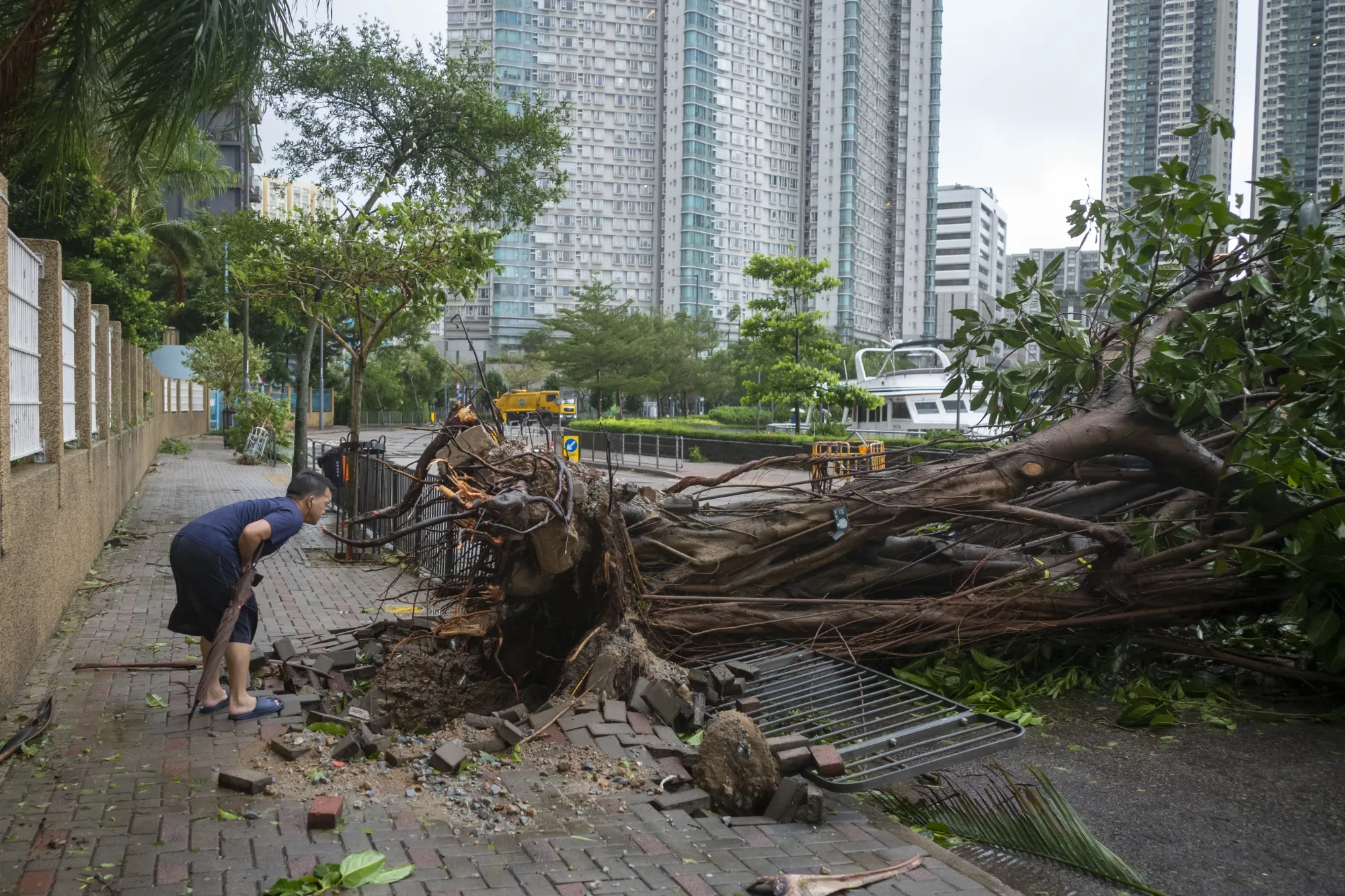
For residents and authorities in southern China, this developing situation demands careful attention. While the system has not yet fully formed into a tropical cyclone, the potential for significant weather disruption exists. The combination of monsoon moisture, low-pressure dynamics, and regional atmospheric conditions creates a delicate meteorological balance that could rapidly transform the weather landscape.
As Wutip continues to develop, meteorological experts will be closely monitoring satellite imagery, computer models, and atmospheric conditions to track its progression. Residents in potentially affected areas are advised to stay informed about local weather updates and follow guidance from regional meteorological authorities.
The emergence of Wutip serves as a reminder of the dynamic and sometimes unpredictable nature of tropical weather systems. While the current forecast suggests a potential cyclone, the ultimate trajectory and intensity remain subject to the complex interplay of atmospheric conditions in the South China Sea region.