As Wednesday afternoon unfolded, Hong Kong experienced a critical moment in its ongoing battle with Typhoon Ragasa, with the Hong Kong Observatory (HKO) carefully managing the city’s response to this powerful storm. At 1:20 pm, the Hurricane Signal was strategically downgraded from No. 10 to No. 8 Southeast Gale or Storm Signal, signaling a gradual but cautious transition towards recovery.

The typhoon’s position at this time was approximately 180 kilometers west-southwest of Hong Kong, moving steadily westward at about 22 kilometers per hour. This trajectory suggested the storm was approaching the western coast of Guangdong, bringing with it a complex array of meteorological challenges that demanded close monitoring and public vigilance.

Despite the signal downgrade, the HKO emphasized that adverse weather conditions remained a significant concern. Frequent heavy showers, squalls, and thunderstorms were expected to continue throughout the day, underscoring the need for residents to remain alert and prepared. The T8 signal was anticipated to remain in effect until at least 8:00 pm, reflecting the ongoing potential for severe weather disruptions.
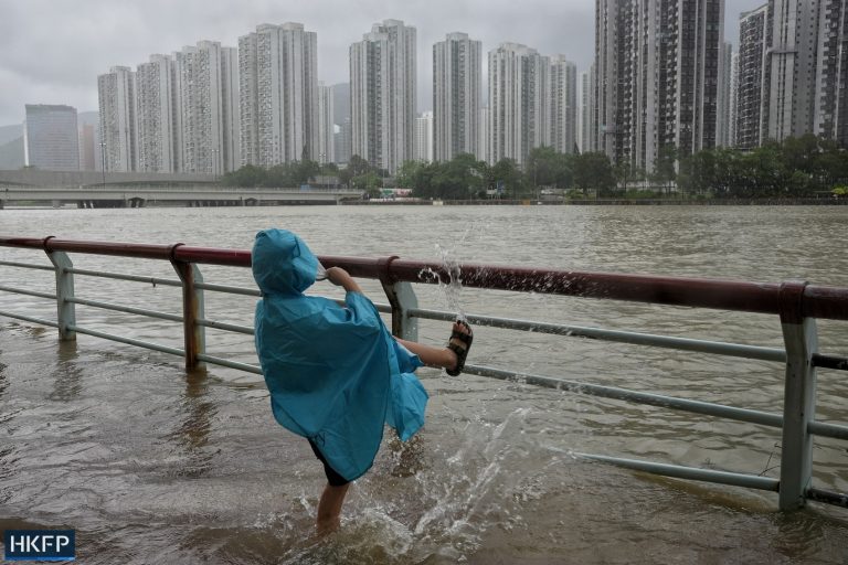
One of the most striking aspects of Typhoon Ragasa was its substantial storm surge, which caused a dramatic rise in water levels across the city. Coastal areas experienced water levels increasing by over 1.5 meters, with some locations seeing measurements reaching an impressive 3.4 meters or more above chart datum. Specific tide stations at Tai Po Kau and Tsim Bei Tsui recorded maximum levels of approximately 3.8 meters, highlighting the storm’s significant hydrological impact.

Wind measurements painted an equally dramatic picture of the typhoon’s intensity. Ngong Ping recorded the highest sustained winds at 117 kilometers per hour, accompanied by maximum gusts exceeding 156 kilometers per hour. Nearby locations like Cheung Chau and Tap Mun also experienced formidable wind conditions, with sustained winds of 104 and 91 kilometers per hour respectively, and maximum gusts reaching 123 and 113 kilometers per hour.
The HKO’s careful management of the situation included the potential consideration of issuing a Strong Wind Signal No. 3 later, depending on the weakening of local wind conditions. This measured approach reflected the meteorological team’s commitment to providing accurate and timely information to the public.
As Typhoon Ragasa gradually moved away from Hong Kong, authorities continued to urge residents to remain cautious. The ongoing threat to coastal areas remained significant, even as the immediate danger began to subside. The comprehensive monitoring and responsive signaling system demonstrated the city’s sophisticated approach to managing extreme weather events.
For Hong Kong residents, this event served as a powerful reminder of the importance of preparedness, staying informed, and following official guidance during typhoon season. The detailed tracking, precise signal management, and comprehensive public communication exemplified the city’s resilience in the face of natural challenges.
While the immediate threat of Typhoon Ragasa was receding, the aftermath would undoubtedly require careful assessment and potential recovery efforts. The city’s methodical approach to managing this significant weather event showcased its ability to respond effectively to nature’s most challenging moments.