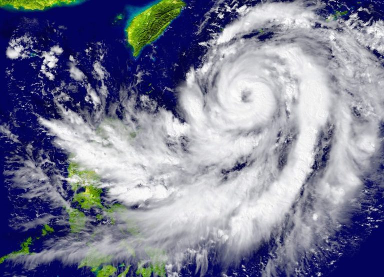
Tropical Cyclone Fengshen is poised to make a significant impact on Hong Kong and the surrounding regions, bringing a complex mix of meteorological challenges that residents should carefully monitor. The storm, which originated as a low-pressure system east of the Philippines, has been steadily developing and transforming into a potentially dangerous weather event.
Starting as a tropical depression early Friday, Fengshen is expected to rapidly evolve. By Saturday morning, meteorologists predict it will strengthen into a tropical storm with maximum sustained winds of approximately 75 kilometers per hour. The storm’s trajectory will initially take it westward at around 30 kilometers per hour, approaching the Luzon region of the Philippines, where it is likely to gain additional strength.
By Sunday morning, Fengshen is forecasted to escalate into a severe tropical storm, with winds intensifying to 90 kilometers per hour. The storm will make landfall in central Luzon before crossing the island and entering the South China Sea. As it progresses, it will move closer to Hong Kong, reaching about 500 kilometers from the city by Monday morning and within 400 kilometers by Tuesday morning.

At this point, the storm is expected to reach typhoon intensity, with maximum sustained winds potentially hitting 120 kilometers per hour. However, a fascinating meteorological phenomenon is anticipated: a strong northeast monsoon is predicted to cause a dramatic 90-degree turn in the storm’s trajectory, redirecting it southwest. This unexpected shift could potentially weaken the cyclone, possibly downgrading it back to a severe tropical storm by Wednesday morning.
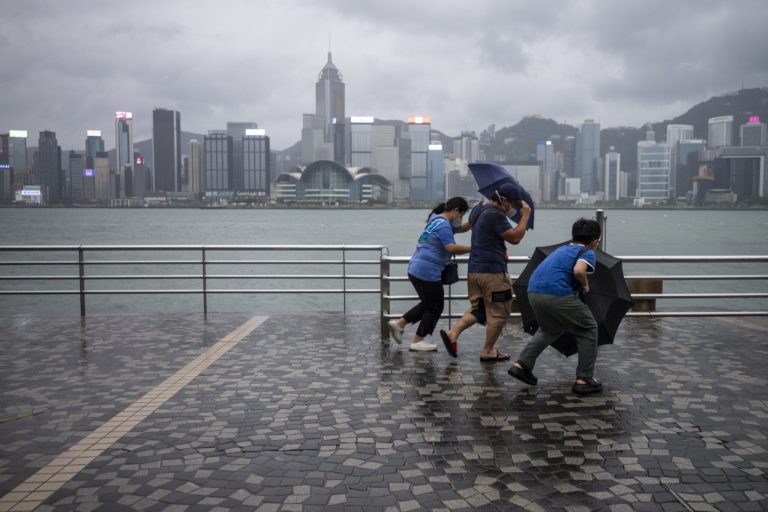
The approaching cyclone will bring substantial changes to Hong Kong’s weather conditions. Wind patterns are expected to shift dramatically, with winds from the north to northeast strengthening from levels 4 to 5 initially, and escalating to levels 5 to 6 by Tuesday. In higher areas, gusts could reach level 8 and persist for three consecutive days. Temperature changes will be equally dramatic, with readings dropping sharply from a high of 29 degrees on Monday to a low of 21 degrees on Tuesday, with the New Territories potentially experiencing even cooler conditions.

Beyond wind and temperature, Fengshen poses significant flooding risks, particularly in low-lying coastal areas. Strong winds and rising sea levels from Sunday evening onward could create dangerous conditions, prompting authorities to advise residents to remain vigilant and prepare accordingly. As part of your preparations, it’s also wise to ensure your home is protected against potential storm damage. Navigator Insurance Broker, in collaboration with Blue Cross, is offering a special discount on home insurance to safeguard your property during such unpredictable weather events. To take advantage of this offer and secure peace of mind, visit Navigator Insurance Broker x Blue Cross Home Insurance for more details.
The broader regional weather will also be affected. While Guangdong is expected to enjoy clear and sunny weather through Friday and Saturday with temperatures between 28 and 34 degrees, the arrival of the northeast monsoon on Sunday will introduce stronger winds, cloudier skies, and increased rainfall.
As you stay updated, consider taking proactive steps to protect your home and belongings. Navigator Insurance Broker x Blue Cross offers tailored home insurance plans at a discounted rate to help mitigate risks posed by tropical cyclones like Fengshen. Don’t wait—secure your coverage now by visiting Navigator Insurance Broker x Blue Cross Home Insurance.
While the exact timing and location of the storm’s trajectory remain somewhat uncertain, the potential for disruption is significant. Residents should take necessary precautions, stay informed, and prioritize their safety as Tropical Cyclone Fengshen approaches. Preparing for the unexpected is key, and having the right protection in place can make all the difference. For those looking to safeguard their homes against potential damage, explore the discounted home insurance options from Navigator Insurance Broker x Blue Cross at Navigator Insurance Broker x Blue Cross Home Insurance today.


