Navigating Tropical Weather Risks: Hong Kong’s Latest Observatory Forecast
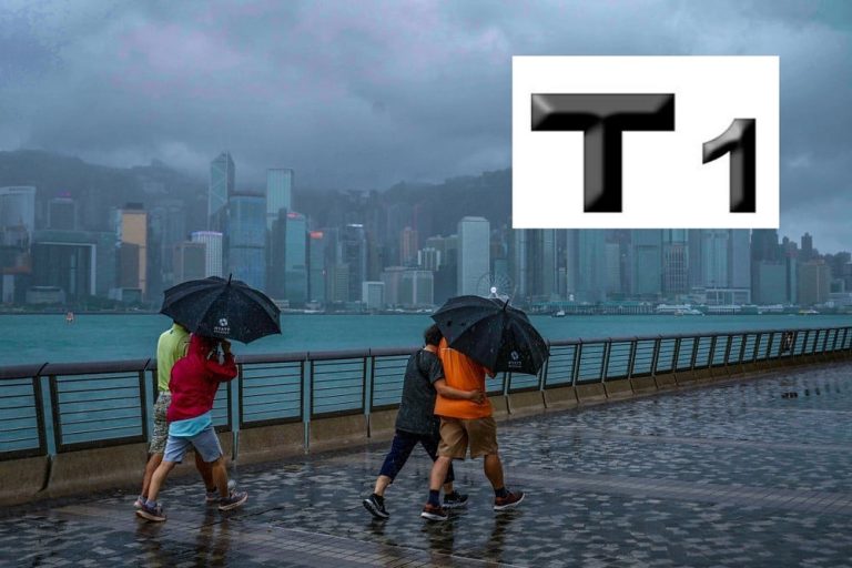
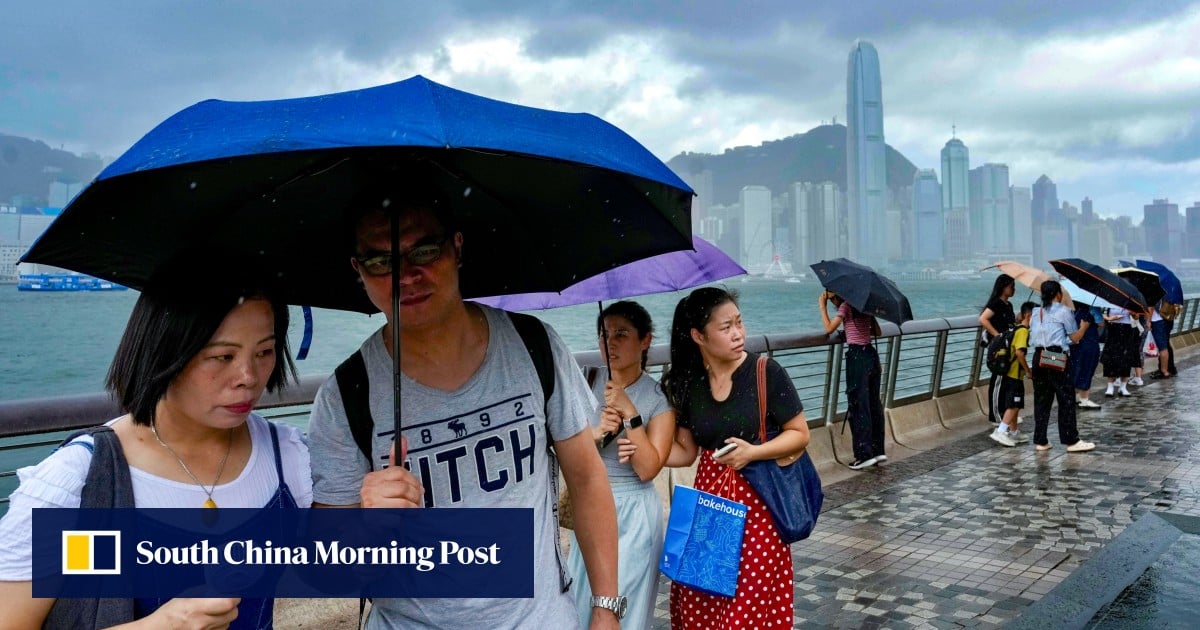
Hong Kong residents are bracing for potentially challenging weather conditions as the Hong Kong Observatory (HKO) issues urgent warnings about imminent heavy rainfall and developing tropical cyclone systems. The meteorological landscape is complex, with multiple weather systems converging to create a potentially volatile atmospheric environment.

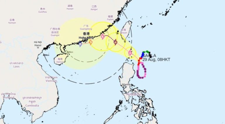
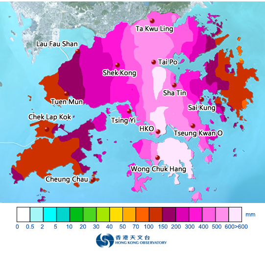
Immediate concerns center on widespread heavy rain expected to impact the territory within the next few hours. The HKO is advising the public to remain vigilant and prepared for rapidly changing weather conditions. An upper-air disturbance is currently generating showers across Guangdong, while a tropical cyclone positioned over Luzon is tracking toward the Guangdong coastal region.
The approaching cyclone presents a particularly intricate meteorological scenario. Its precise trajectory and intensity remain uncertain, primarily due to the influential northeast monsoon’s interference. Weather experts are closely monitoring how these atmospheric interactions might shape the system’s development and potential impact.

Residents can anticipate a series of potential weather disruptions, including squally thunderstorms, intensifying winds, and significant sea swells. The forecast suggests these conditions will likely persist through the weekend, creating challenging environmental conditions for coastal and urban areas alike.
Adding complexity to the weather outlook, another tropical cyclone is projected to emerge east of the Philippines in the western North Pacific later this week. This developing system is expected to gradually intensify before entering the northern South China Sea early next week. Its potential approach toward southern China’s coastline represents an additional layer of meteorological uncertainty.
The HKO’s comprehensive monitoring approach underscores the importance of staying informed and prepared. While the exact manifestation of these weather systems remains fluid, the observatory’s detailed tracking provides crucial insights for residents and authorities alike.
For individuals and communities in the affected regions, proactive preparation is key. This includes staying updated through official channels, ensuring emergency supplies are readily available, and maintaining awareness of potential rapid weather changes. The dynamic nature of tropical weather systems demands flexibility and attentiveness.

The current meteorological conditions highlight the complex interplay of atmospheric elements in the region. Upper-air disturbances, monsoon influences, and developing tropical cyclones create a multifaceted weather environment that requires continuous observation and analysis.
Local authorities and the Hong Kong Observatory are committed to providing timely and accurate information to help residents navigate these potentially challenging weather conditions. The ongoing monitoring and frequent updates reflect a comprehensive approach to public safety and meteorological communication.
As the weather systems continue to evolve, residents are encouraged to remain alert, access official updates regularly, and follow guidance from local meteorological experts. The coming days will be critical in understanding the full extent and impact of these developing weather patterns.
The intersection of multiple weather systems demonstrates the intricate and unpredictable nature of tropical meteorology. Each developing cyclone and atmospheric disturbance presents unique challenges that require sophisticated tracking and analysis.
While uncertainty remains a constant companion in weather forecasting, the Hong Kong Observatory’s detailed monitoring provides a crucial lifeline of information for those in potentially affected areas. Staying informed, prepared, and adaptable will be essential in navigating the upcoming weather developments.