Tsunami Strikes Japan’s Pacific Coast: A Detailed Look at the July 2025 Event
On a summer morning in July 2025, the Pacific coast of Japan faced a dramatic natural disaster that underscored the region’s ongoing vulnerability to seismic events. A powerful earthquake measuring 8.7 magnitude struck off the Kamchatka Peninsula in Russia, immediately triggering a tsunami warning that stretched from Hokkaido to Wakayama Prefecture.
The Japan Meteorological Agency (JMA) quickly escalated its initial advisory to a full warning at 9:40 a.m. local time, forecasting potentially devastating waves up to 3 meters high. Coastal communities sprang into action, with local authorities implementing urgent evacuation protocols that would prove critical to public safety.
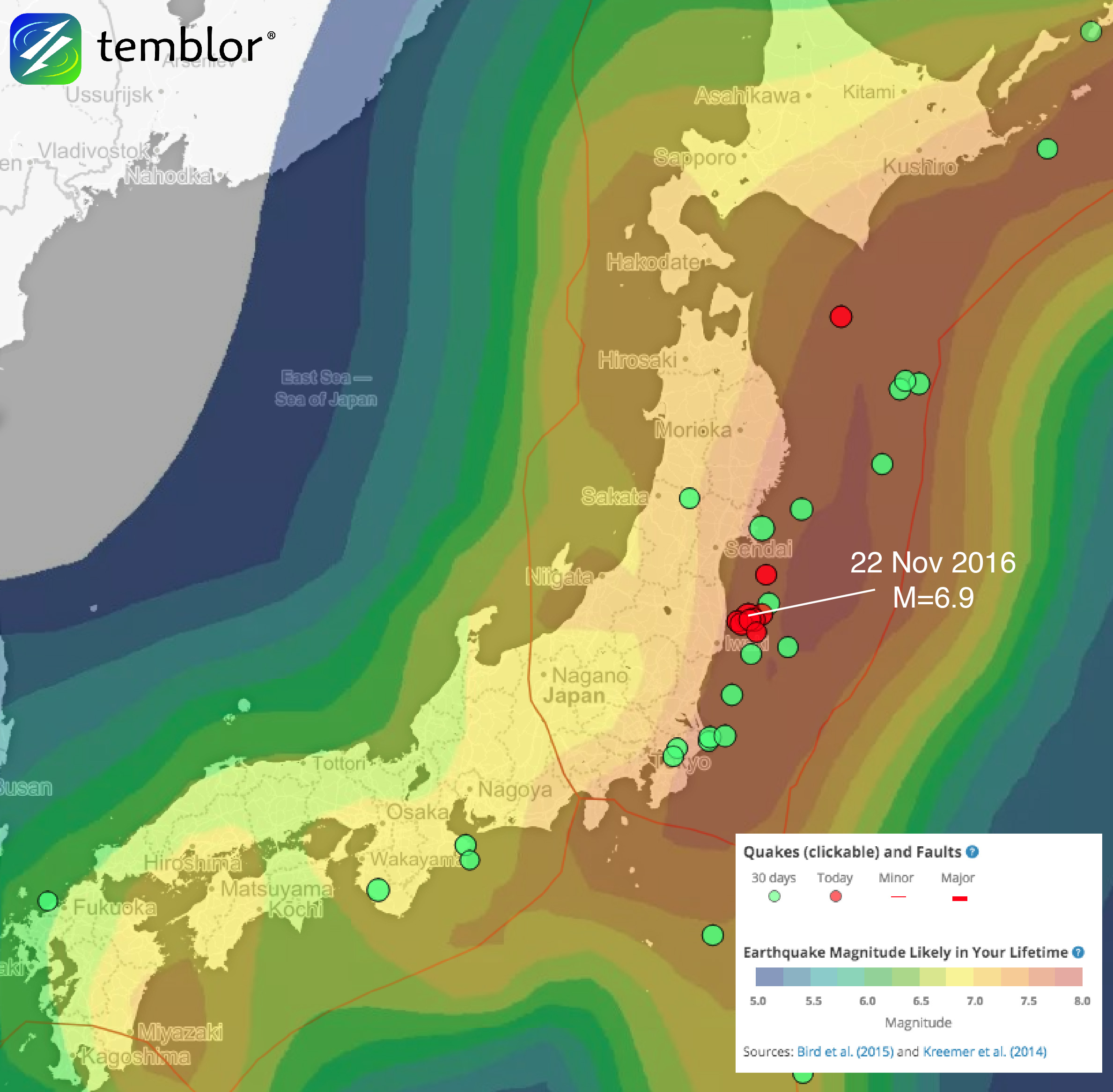
Precise measurements revealed the tsunami’s varied impact across different locations. Kuji Port in Iwate Prefecture recorded the most significant wave, reaching 1.3 meters in height. Other areas experienced smaller but still notable waves, including Ishinomak Port in Miyagi Prefecture with a 50-centimeter wave and Hanasaki Port in Nemuro with a 30-centimeter surge. Even Yokohama Port saw waves reaching 30 centimeters, demonstrating the widespread nature of the event.
JMA official Kiyomoto Masashi delivered a stark warning during a press conference, emphasizing that tsunami conditions could persist for at least one day. The potential for multiple wave cycles and the risk of waves coinciding with high tide created an atmosphere of heightened alert. Residents were advised to remain vigilant, understanding that initial waves might not represent the full extent of the potential threat.
Evacuation efforts were comprehensive and immediate. Beaches along the coast were rapidly cleared, with authorities urging people to move to higher ground or designated safe buildings. In Kujukuri Town, Chiba Prefecture, and Oarai Town, Ibaraki Prefecture, local governments efficiently managed the evacuation of beaches and public spaces. Despite official warnings, some individuals—notably a few persistent surfers—remained in potentially dangerous areas.
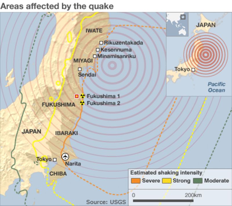
The earthquake’s impact extended beyond coastal regions, disrupting critical infrastructure. Sendai Airport in northeastern Japan closed its runways, leading to flight suspensions and rerouting. Transportation ministries worked to manage the cascading effects on travel and communication.
Historical context provided crucial perspective on the event. A similar earthquake in November 1952—a magnitude 9.0 event—had previously triggered tsunami waves over 10 meters high, affecting not just the Kamchatka Peninsula but also reaching as far as the Hawaiian Islands. That historical precedent highlighted the potential for widespread destruction and the importance of robust emergency response systems.
The event also drew attention to the Pacific Ring of Fire, a region known for its intense seismic activity. Experts noted that the largest tsunami waves could take considerable time to arrive, necessitating prolonged vigilance and preparedness among affected populations.
While the immediate threat was significant, the coordinated response of Japanese authorities demonstrated the country’s extensive experience in managing natural disasters. The Prime Minister’s crisis management center established a liaison office at 8:37 a.m., ensuring rapid communication and response coordination across affected regions.
As the day progressed, the tsunami warning remained in effect, a reminder of nature’s unpredictable power and the ongoing need for preparedness in seismically active regions. The event served as a critical moment of reflection on disaster response, infrastructure resilience, and community safety.


