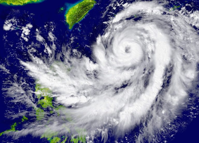
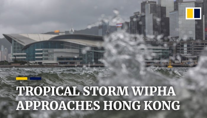
Hong Kong is facing a critical weather emergency that demands immediate attention and preparedness. On July 19, 2025, the city is confronting a dangerous combination of torrential rainfall and the approaching Tropical Cyclone Wipha, creating a potentially devastating scenario for residents and infrastructure.
The Hong Kong Observatory (HKO) has sounded urgent alarms as rainfall intensifies across the territory. Yuen Long District has been particularly vulnerable, experiencing an extraordinary 100 millimeters of rain in just one hour, while Tsuen Wan District recorded over 70 millimeters during the same period. These staggering precipitation levels have triggered a Localised Heavy Rain Advisory, signaling significant flood risks for low-lying areas.

At 11:15 a.m., the HKO raised an Amber Rainstorm Warning Signal, indicating rainfall exceeding 30 millimeters per hour across multiple regions. Squally thunderstorms are sweeping through the city, with meteorologists closely monitoring conditions that could potentially escalate to a more severe Red Rainstorm Warning Signal.
The weather threat is further complicated by Tropical Cyclone Wipha, which is forecast to approach within 800 kilometers of Hong Kong either late on July 18 or early July 19. In response, the HKO has issued a Standby Signal, No. 1, anticipating the cyclone’s intensification as it nears western Guangdong. The cyclone is expected to bring strong winds and heavy rainbands to the region, creating a multi-faceted weather challenge.
From Saturday through Monday, Hong Kong residents can expect a tumultuous weather pattern characterized by heavy squally showers, thunderstorms, and rough seas with significant swells. The HKO is considering raising the Strong Wind Signal, No. 3 on Saturday, with the potential for even higher typhoon warning signals on Sunday, depending on Wipha’s trajectory and strength.
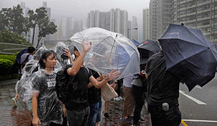
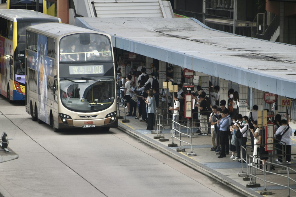
Public safety is paramount during these conditions. Authorities are strongly urging residents to exercise extreme caution. Specific recommendations include avoiding watercourses due to rapidly rising water levels, being vigilant while driving, and steering clear of coastal areas and water sports. The risk of dangerous flooding and traffic disruptions is substantial, making personal safety the top priority.

The potential for escalating weather conditions means residents must remain informed and prepared. Staying updated through official weather channels and following HKO advisories could be crucial in navigating this challenging period. The dynamic nature of Tropical Cyclone Wipha means that warning levels could change rapidly, requiring constant attention and readiness.
As the weekend of July 19-21, 2025, approaches, Hong Kong stands on high alert. The combination of intense rainfall and an approaching tropical cyclone creates a complex and potentially hazardous weather scenario. While the situation remains fluid, the comprehensive monitoring and proactive warnings from the Hong Kong Observatory provide a critical lifeline for residents, offering timely information to help them stay safe and make informed decisions during this challenging weather event.