Hong Kong Residents Prepare for Potential Tropical Cyclone: What You Need to Know
As the summer storm season intensifies, the Hong Kong Observatory (HKO) is closely monitoring a developing tropical cyclone that could significantly impact the city’s weather in the coming days. Residents should stay alert and prepared for potential warning signals that may be issued starting Friday night.

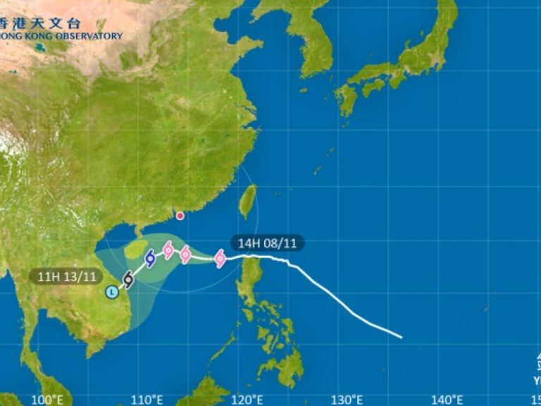
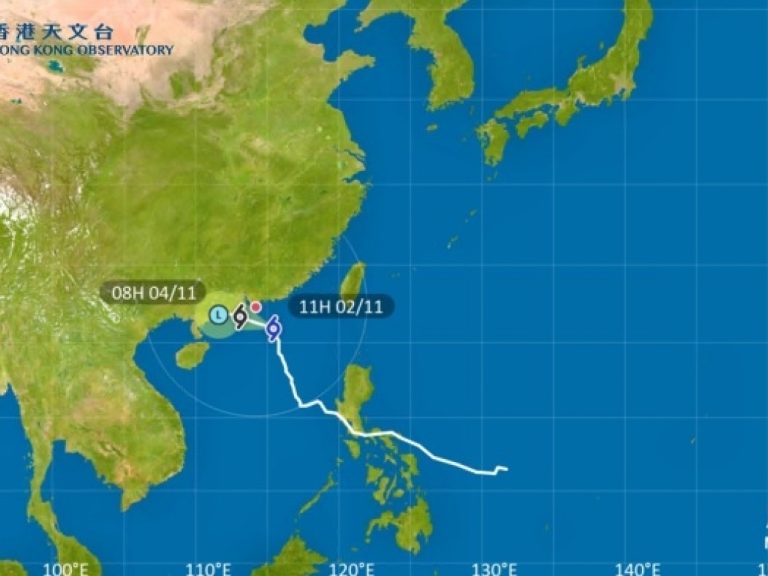
The HKO has been tracking a tropical cyclone approaching from the east of the Philippines, with a high likelihood of issuing the Standby Signal No. 1 as early as Friday night, July 18. This initial warning serves as a crucial heads-up for Hong Kong residents, signaling the potential for changing weather conditions. The storm is expected to come within 800 kilometers of Hong Kong by late Friday night or early Saturday, prompting meteorologists to maintain a vigilant watch on its trajectory.

By Saturday, July 19, the situation may escalate further. The Observatory is considering raising the Strong Wind Signal No. 3, which would indicate more severe wind conditions and increased risk to the region. This potential upgrade depends entirely on the storm’s development and proximity to the city. Residents should prepare for a weekend of challenging weather, with forecasts predicting heavy squally showers and thunderstorms that could persist from Saturday through Monday, July 21.
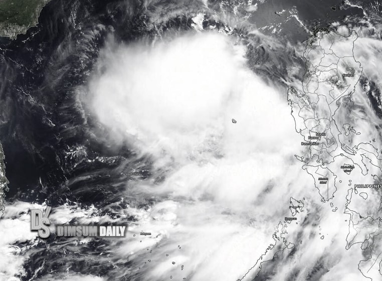
The tropical cyclone is expected to gradually intensify as it approaches the Pearl River Estuary, creating a dynamic and potentially unpredictable weather scenario. Meteorologists will continue to assess the storm’s path and strength, with additional updates anticipated on Sunday, July 20. The HKO’s cautious approach aims to provide timely and accurate information to help residents make informed decisions about their safety and preparedness.

For those living in or visiting Hong Kong, staying informed is crucial. The changing weather conditions could impact daily activities, transportation, and outdoor plans. While the full extent of the storm’s impact remains uncertain, the potential for strong winds, heavy rainfall, and possible flooding suggests that residents should take proactive measures to ensure their safety.
The HKO recommends keeping a close eye on official communications and weather updates. Technology can be a valuable ally during such times, with various platforms and apps providing real-time information about tropical cyclone warnings and weather developments. Staying connected and informed is key to navigating potential weather-related challenges.
As the weekend approaches, Hong Kong demonstrates its resilience in the face of potential natural challenges. The city’s sophisticated weather monitoring systems and comprehensive warning mechanisms reflect a well-prepared approach to managing tropical cyclone risks. Residents can take comfort in knowing that authorities are working diligently to provide timely and accurate information to protect public safety.
While the situation continues to evolve, the message is clear: stay informed, stay prepared, and prioritize personal safety. The coming days will require careful attention to official weather updates and a proactive approach to potential weather-related disruptions.
For the most up-to-date information, residents are encouraged to follow official HKO announcements and remain adaptable as the tropical cyclone’s path becomes clearer. The next 48 to 72 hours will be critical in determining the full impact of this developing weather system on Hong Kong.