Hong Kong Braces for Potential Tropical Cyclone: What Residents Need to Know
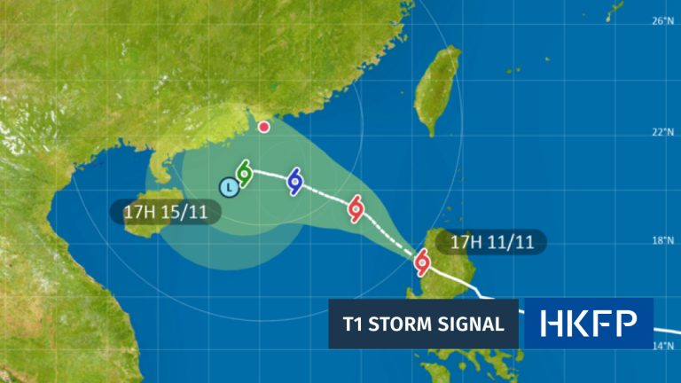
The Hong Kong Observatory (HKO) is closely monitoring a developing weather system that could significantly impact the city in the coming days. As of September 5, meteorologists are tracking a low-pressure area near Luzon, approximately 800 kilometers from Hong Kong, which shows potential to transform into a tropical cyclone.
Residents can expect an intense weather transition over the next few days. Friday, September 6, will paradoxically begin with extremely hot conditions, with temperatures climbing to around 35 degrees Celsius in urban areas and potentially higher in the New Territories. This scorching heat will occur under the influence of an upper-air anticyclone, creating a stark contrast to the approaching storm system.
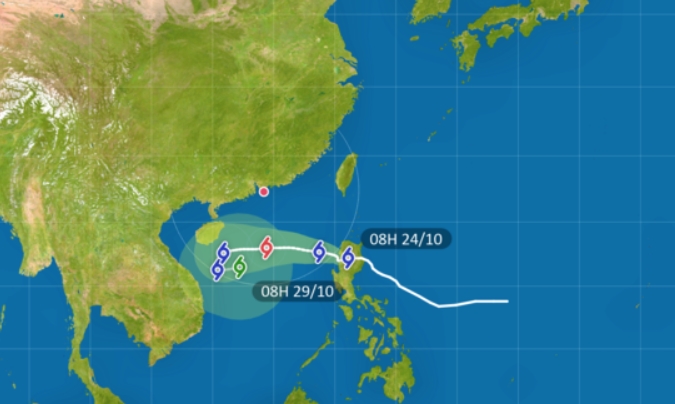
The tropical cyclone’s trajectory suggests it will gradually intensify and move toward the Guangdong coast. However, meteorologists emphasize that significant uncertainties remain regarding the storm’s exact intensity and movement speed. This unpredictability underscores the importance of staying informed and prepared.
By Sunday, September 7, Hong Kong residents can anticipate a dramatic shift in weather patterns. Winds will begin to strengthen gradually, and the previously stable conditions will become increasingly unsettled. The calm before the storm will give way to more turbulent atmospheric conditions, signaling the approaching tropical system.
Monday, September 8, is expected to bring the most significant weather challenges. Forecasts predict a substantial deterioration, with a combination of potentially dangerous weather elements. Residents should prepare for:

- Strong, squally winds
- Heavy thunderstorms
- Rough sea conditions with significant swells
- Potential flooding in low-lying coastal areas
The HKO will be continuously monitoring the cyclone’s development, paying close attention to three critical factors:
1. The storm’s overall intensity
2. Proximity of strong winds to Hong Kong
3. Changes in local wind strength

These assessments will determine whether higher Tropical Cyclone Warning Signals become necessary, potentially escalating beyond the initial Standby Signal (No. 1) that may be issued on the evening of September 5 or morning of September 6.
For now, the Observatory recommends that residents stay vigilant and keep themselves updated with the latest weather information. The evolving nature of tropical cyclones means that conditions can change rapidly, and preparedness is key to ensuring personal safety.
While the current forecast suggests a potentially significant weather event, it’s crucial to remember that tropical cyclone predictions can shift quickly. The HKO’s ongoing monitoring and frequent updates will provide the most current and accurate information for Hong Kong residents.
Those living in coastal or low-lying areas should be particularly attentive to official warnings and have an emergency plan in place. Preparing emergency supplies, securing loose outdoor items, and staying informed through official channels can help mitigate potential risks associated with the approaching tropical system.
As the situation develops, residents are advised to remain calm, stay informed, and follow guidance from the Hong Kong Observatory and local authorities. The coming days will be a critical period of weather watching and preparation for the city.


