Prepare for Storm Force Winds as Super Typhoon Ragasa Approaches
Hong Kong residents are bracing for a potentially severe weather event as Super Typhoon Ragasa barrels toward the region, with the Hong Kong Observatory (HKO) warning of gale to storm force winds expected on Wednesday, September 24. The approaching typhoon carries echoes of devastating storms from recent history, drawing comparisons to Typhoon Hato in 2017 and Typhoon Mangkhut in 2018, particularly in terms of potential coastal impacts.

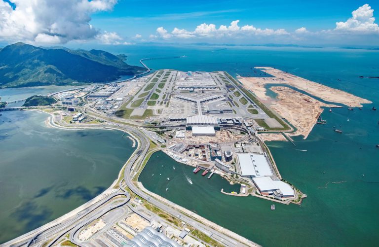
As of Tuesday noon, Ragasa was positioned approximately 720 kilometers northeast of Manila, with meteorologists tracking its intensifying trajectory across the Luzon Strait and into the northern South China Sea. The storm’s projected path will bring it closest to Hong Kong on Wednesday morning, maintaining super typhoon strength with maximum sustained winds near its center reaching an impressive 210 kilometers per hour.
The HKO’s tropical cyclone warning system provides critical guidance for residents, with wind strength determining the severity of alerts. The T8 signal indicates gale or storm force winds blowing near sea level, while the T10 signal represents hurricane-force conditions with sustained winds of 118 kilometers per hour or higher. Notably, if the T10 signal is raised for Ragasa, it would mark only the second time in 61 years that two T10 signals have been issued in a single year – a stark reminder of the region’s increasingly volatile weather patterns.

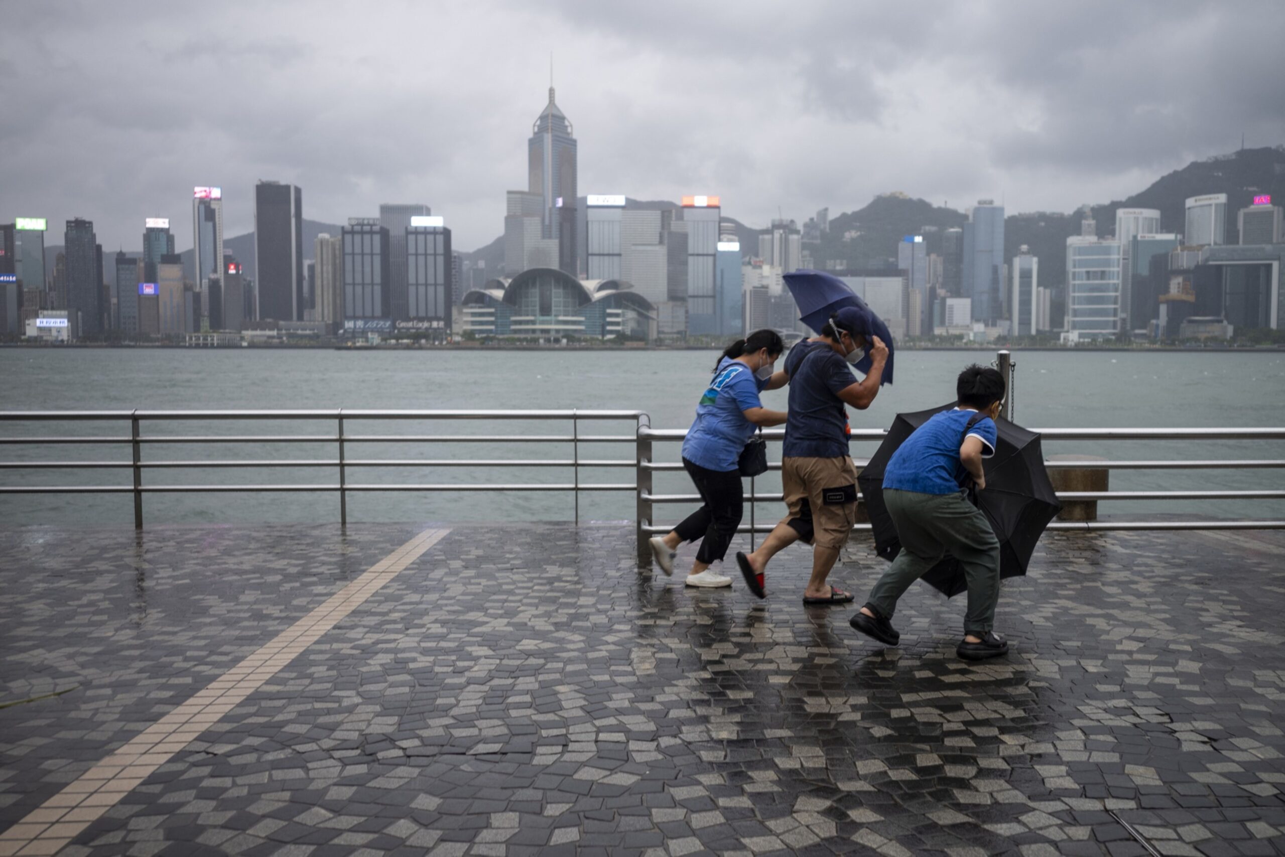
Weather conditions are expected to deteriorate rapidly, with offshore areas and high ground likely to experience hurricane-force winds by Wednesday. Residents should prepare for heavy squally showers, thunderstorms, and significant storm surge that could pose serious risks of flooding and property damage, especially in low-lying and coastal areas.
The potential for widespread disruption is significant. Wind gusts may exceed 220 kilometers per hour, creating dangerous conditions that demand immediate attention and preparation. Local authorities are urging residents to stay informed, secure property, and avoid coastal areas during peak storm conditions.
This isn’t just another weather event – it’s a critical moment that underscores the importance of emergency preparedness in typhoon-prone regions. The HKO’s meticulous tracking and warning system provides a lifeline of information, helping communities anticipate and mitigate potential risks associated with such extreme weather events.
For those in Ragasa’s path, vigilance is key. Stay tuned to official updates, follow local authority guidelines, and prioritize personal safety. The storm’s approach is a powerful reminder of nature’s unpredictability and the critical importance of being prepared.

As Wednesday approaches, Hong Kong stands ready – a testament to the resilience of communities that regularly face nature’s most formidable challenges. The coming hours will test preparedness, infrastructure, and community response, with the Hong Kong Observatory providing crucial guidance every step of the way.
Stay safe, stay informed, and stay prepared as Super Typhoon Ragasa makes its approach.